Urban Planning Tools
Real-time video analytics for various industry applications.
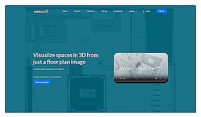
Create detailed 3D models of real-world spaces effortlessly.

Comprehensive location intelligence for businesses and applications.
AI-powered traffic monitoring and enforcement system for cities.
Analyze massive datasets for immediate insights and patterns.
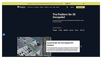
Visualize and manage 3D geospatial data effortlessly.
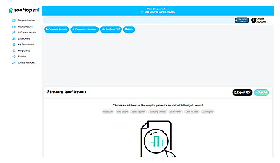
Instant roofing reports and property data at your fingertips.
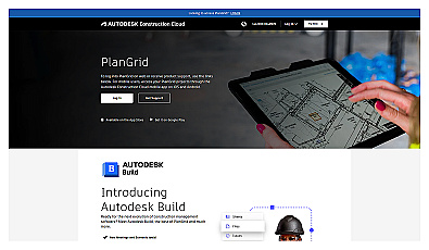
Access and share project information in real-time for construction teams.
Streamlined project management for home construction.
Connect and share resources within your community easily.
Visual documentation solution for construction projects
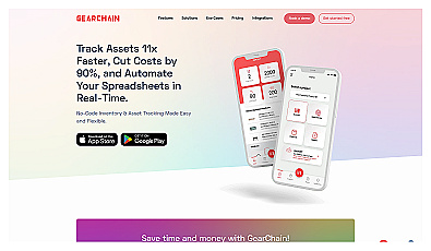
AI-driven tool for real-time asset tracking and management.
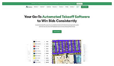
Automated measurement solution for accurate construction bidding.
Visualize floor plans with interactive 3D modeling and collaboration.

Transform scans into detailed 3D building models instantly.
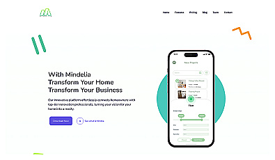
Connects homeowners with skilled renovation professionals.
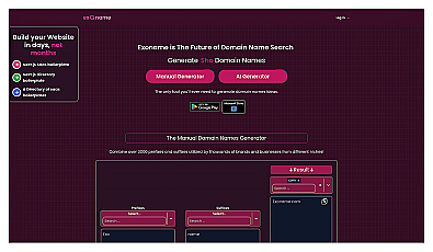
Generate creative domain names effortlessly with unique suggestions.
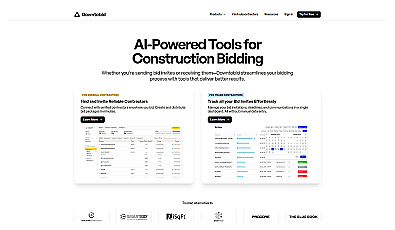
Streamlined bidding process for construction and contracting projects.
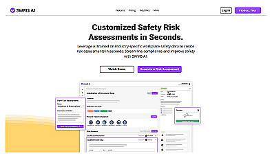
Automated risk assessment generation for workplace safety.
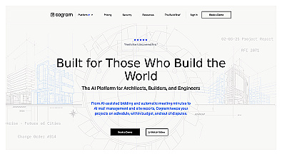
AI-driven project management for construction professionals.
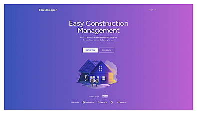
Construction project management with budgeting and tracking features.
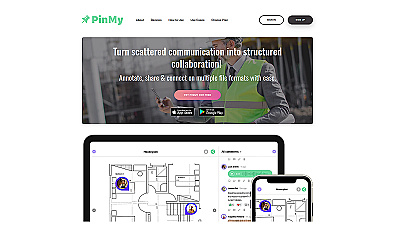
Annotate images and collaborate with clear, contextual feedback.

AI-driven image analysis for precise location identification.
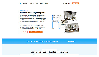
Create detailed 2D and 3D floor layouts effortlessly.