Spatial Intelligence Tools
AI-driven procurement management for smarter spending decisions.
Ensures safe and suitable ad placements for brands.
Quickly generates detailed project estimates for developers.
Advanced analytics for smarter public finance decision-making.

Unlock insights from geolocation data for smarter decisions.
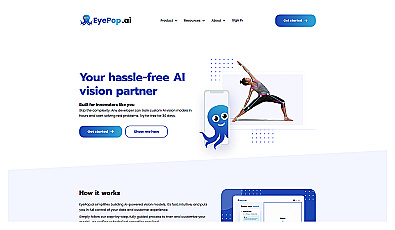
Advanced image detection and segmentation technology for various industries.
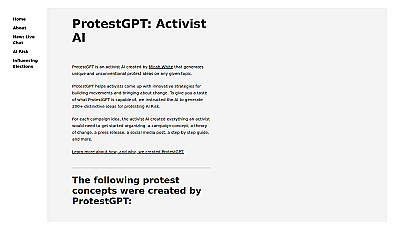
AI-driven innovation for unique protest strategies and campaigns.
Image segmentation using text or image prompts with minimal setup.
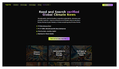
Your source for concise climate news updates.
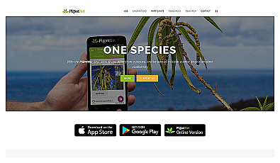
Advanced image recognition for identifying objects in photos.
Automated solution for precise object identification in images and videos.

Real-time image analysis for accurate object detection.
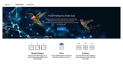
Create custom image recognition models with ease.
Streamlined AI model training for object detection and analysis.
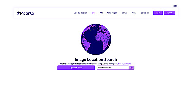
Discover where your photos were taken with intelligent geolocation.
Open models and datasets for AI innovation and research.
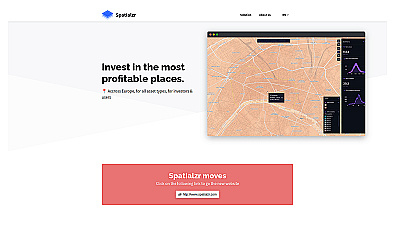
Real-time market insights for smarter real estate decisions.

Comprehensive location intelligence for businesses and applications.

AI-driven image analysis for precise location identification.

Create stunning animations using satellite imagery.

Transform scans into detailed 3D building models instantly.
Explore history through detailed, interactive maps.
Real-time video analytics for various industry applications.
AI-powered traffic monitoring and enforcement system for cities.