Spatial Data Tools
Streamlined AI model training for object detection and analysis.
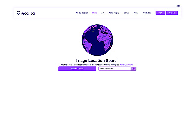
Discover where your photos were taken with intelligent geolocation.
Open models and datasets for AI innovation and research.
Visual documentation solution for construction projects
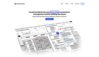
A collaborative management solution for construction teams.
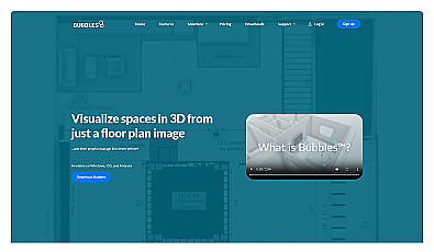
Visualize floor plans with interactive 3D modeling and collaboration.
Powerful library for computer vision tasks and image processing.
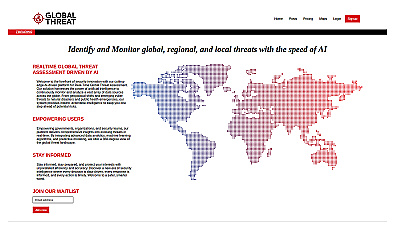
Advanced threat monitoring for global and local risks.
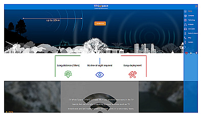
Affordable long-range internet connectivity for various applications.

AI-driven image analysis for precise location identification.
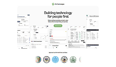
Streamlined workflow management for municipalities and organizations.
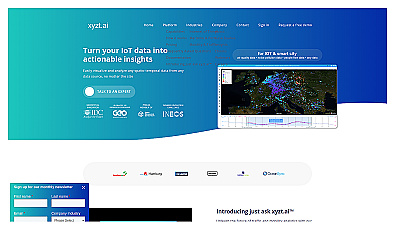
Insight platform for visualizing and analyzing IoT data.

Automated imaging for actionable insights across industries.

Advanced mapping editor with AI features for accurate updates.