Satellite Imagery Tools
Innovative architectural solutions for inspired living and working spaces.
Transform sketches into realistic 3D visuals effortlessly.
Quickly create stunning 360° virtual environments in high resolution.
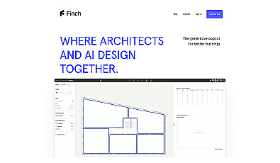
Architectural design optimization for faster, compliant workflows.
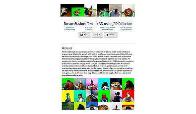
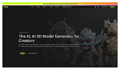
Generate realistic 3D models effortlessly from text prompts.
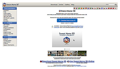
Design and visualize home layouts in a detailed 3D space.
Software designed for seamless architectural collaboration and project management.

Transform scans into detailed 3D building models instantly.
Generates stunning images and videos from text and sketches.
Effortless 3D rendering for architects and designers.
Create limitless virtual environments with advanced generation techniques.
A resource for insights in architecture and design.
Explore imaginative architectural designs generated by AI.
Instantly generate detailed 3D models from images or sketches.
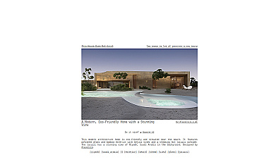
Innovative visualizations for modern home design.
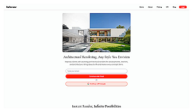
Transform ideas into stunning 3D architectural visuals instantly.
Generate 3D models from text or images in moments.
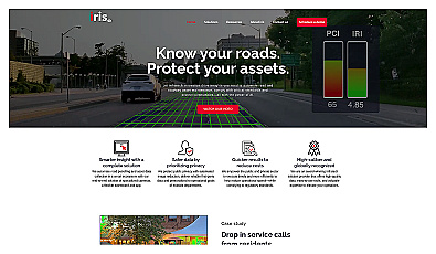
Automated road monitoring and asset management for cities.
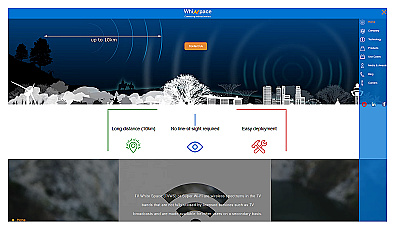
Affordable long-range internet connectivity for various applications.
AI-powered traffic monitoring and enforcement system for cities.
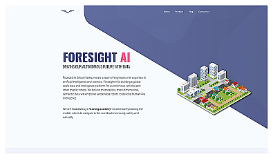
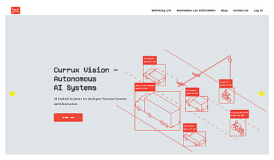
Training platform for enhancing robot navigation skills in realistic settings.
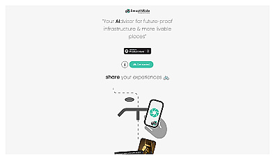
Urban planning tool promoting cyclist-friendly infrastructure improvements.