Geospatial Visualization Tools

Advanced AI for swift visual data analysis and monitoring.

Efficiently manage and analyze large geospatial datasets.
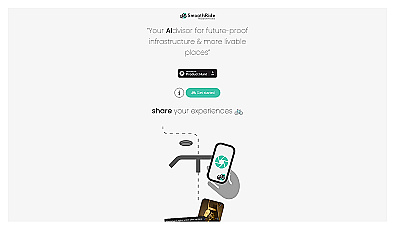
Urban planning tool promoting cyclist-friendly infrastructure improvements.
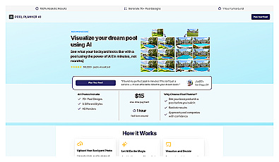
Visualize your dream pool in your backyard instantly.
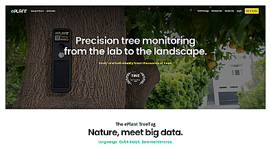
Monitor tree health and environmental conditions with advanced sensors.
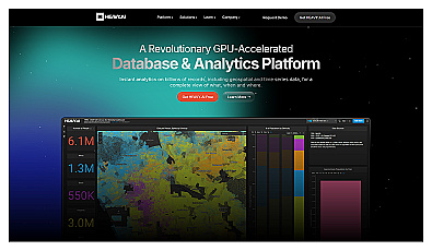
Analyze massive datasets for immediate insights and patterns.
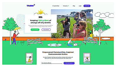
Connects communities to environmental data for informed action.
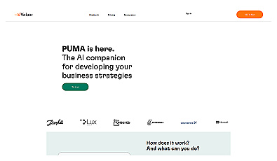
AI-driven insights for informed business decision-making.
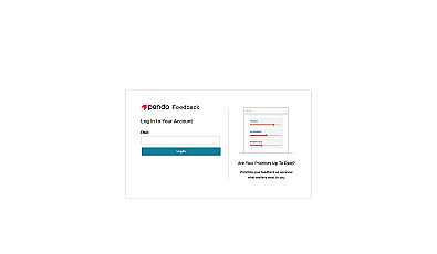
Collect and prioritize user feedback for informed product decisions.
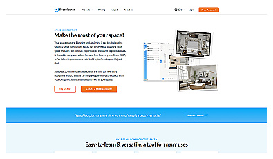
Create detailed 2D and 3D floor layouts effortlessly.
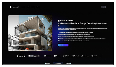
Generate stunning architectural visuals from sketches or photos in seconds.
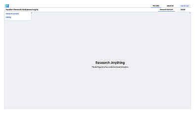
An intelligent research assistant for informed decision-making.
Marketing services that enhance online visibility and engagement.
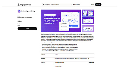
Automated pricing adjustments based on competitor insights.
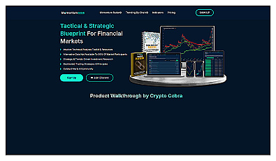
Analyzes financial data to enhance investment decisions.
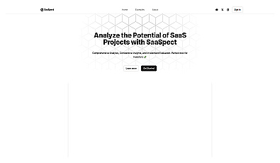
Analyzes SaaS projects for informed investment decisions.
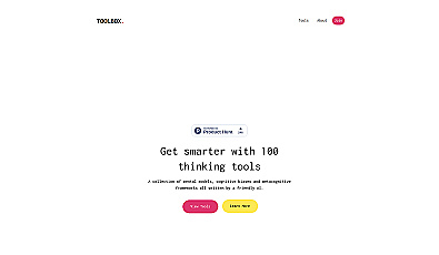
Enhance your thinking with diverse cognitive strategies.

Transform images into beautiful interior designs with advanced AI.

Personalized virtual coaching for career clarity and goal tracking.
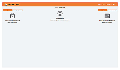
Navigate betting with real-time stats and smart tips.
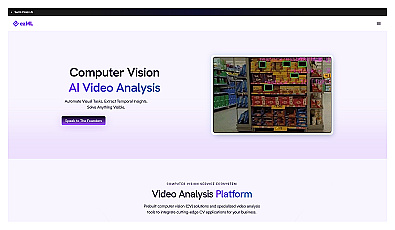
Automates video analysis for insights and decision-making.
AI-driven agents for efficient information retrieval and task management.
Headless content management for seamless brand communication.
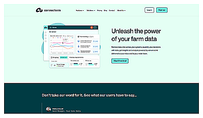
Intelligent data integration for effective dairy farm management.
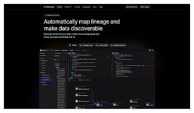
Visualizes data relationships and dependencies in SQL models.