Geographic Visualization Tools
Real-time writing assistant for clear and engaging communication.
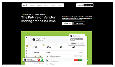
Streamlined vendor management and procurement processes made simple.
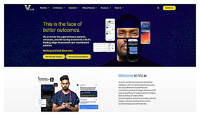
AI-driven platform for rapid patient data communication.
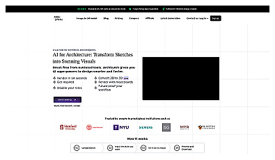
Transform 2D sketches into impressive 3D models instantly.
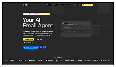
Smart email assistant that drafts and manages communications.
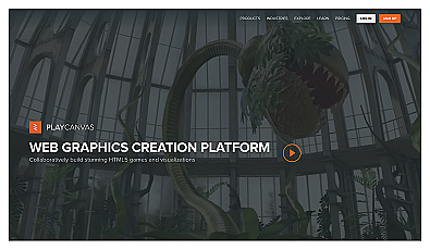
Create engaging 3D web content effortlessly.
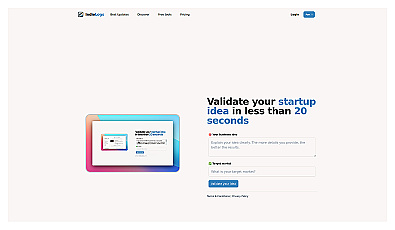
Quickly assess startup idea viability in under 20 seconds.
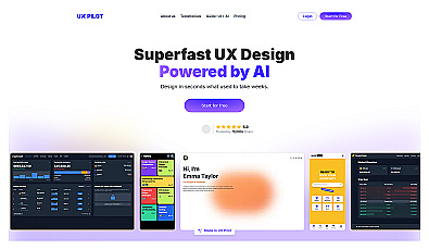
Accelerates user interface design through AI-driven efficiency.
Create immersive 3D worlds effortlessly with a single click.
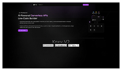
Create and manage backend tasks without extensive coding knowledge.
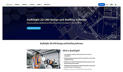
Effortlessly create and modify precise architectural and engineering designs.
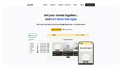
Transform spreadsheets into interactive web applications in minutes.

Spatial data visualization and analysis for informed decision-making.
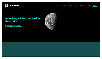
Data-driven insights for corporate innovation and market trends.
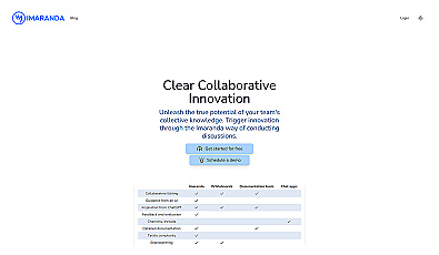
Collaborative discussion space for effective team communication.
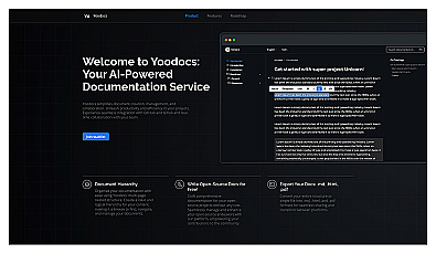
Create, edit, and share documents with real-time collaboration.
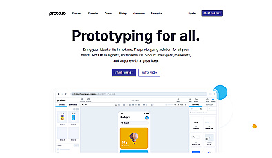
Build interactive prototypes without coding skills.
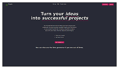
Track and develop ideas efficiently with AI insights and collaboration.
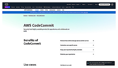
Secure cloud storage for collaborative code management.

Real-time AI collaboration on a digital whiteboard.
Smart assistant for managing tasks and generating content.
Comprehensive financial and operational performance management solution.
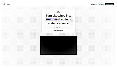
Turn sketches into functional code quickly and efficiently.