Geographic Visualization Tools
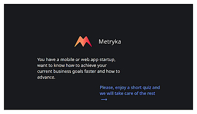
Insight-driven resource for startup growth and decision-making.
Organize and manage your digital assets with ease.
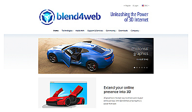
Create interactive 3D experiences directly in web browsers.
AI-driven assistant for optimizing workplace efficiency.
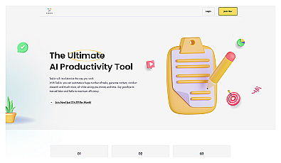
Automates tasks and generates content for enhanced productivity.

Create user interfaces without writing any code.
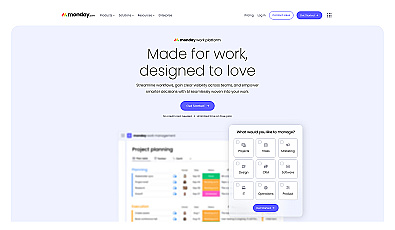
A visual project management system for team collaboration.

Geospatial AI for analyzing satellite and drone imagery.
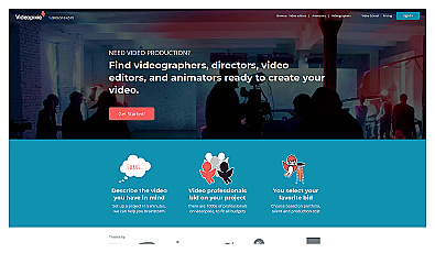
Connects clients with skilled video professionals for projects.
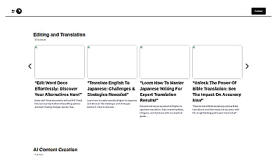
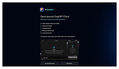
AI-driven document translation and editing for seamless communication.
Virtual assistant streamlining office tasks for enhanced productivity.
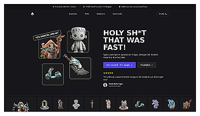
Rapidly generate high-quality 3D models from text or images.
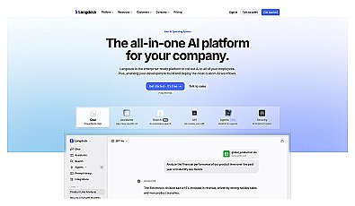
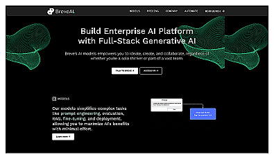
Collaborative platform for teams to enhance productivity with AI.
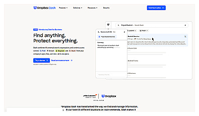
Centralized access for files and collaborative work.
AI-powered coding assistant for software developers.
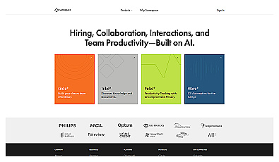
Improve teamwork and productivity with seamless collaboration solutions.
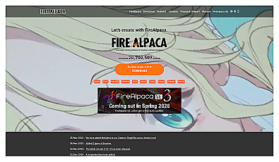
Free digital painting software for all skill levels.
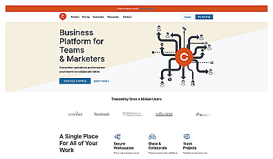
Collaborative workspace solution for streamlined team projects.
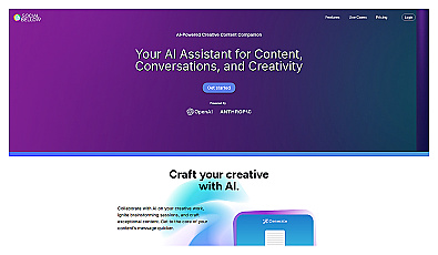
AI-driven creative collaboration tool for businesses and individuals.
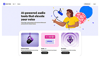
Streamlined online audio recording and editing for quality content.
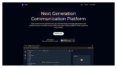
A unified space for team communication and project management.
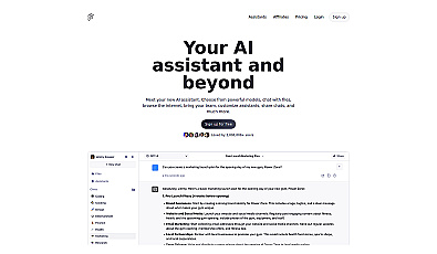
A versatile AI assistant for seamless workflow management.
Visualize and analyze data effortlessly for informed decision-making.