Aerial Visualization Tools
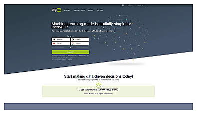
Easy-to-use machine learning for data-driven insights.
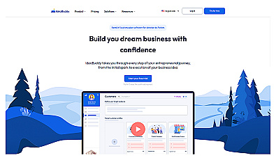
A guided platform for developing and refining business ideas.
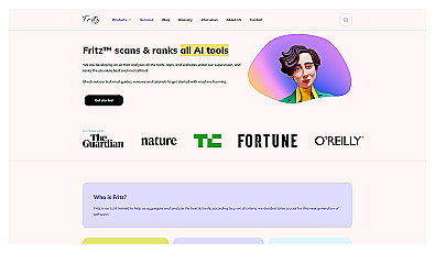
An AI-driven resource for discovering and evaluating AI options.
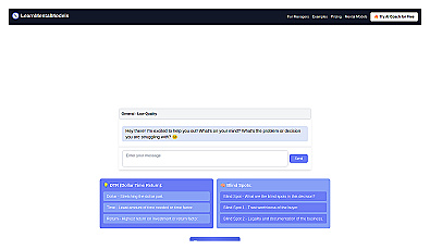
Identify decision-making blind spots for entrepreneurs and optimize choices.
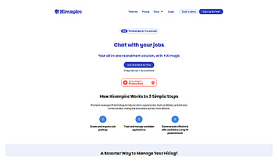
AI-driven recruitment solution for streamlined hiring processes.
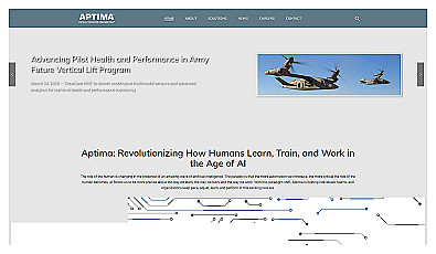
Performance enhancement through advanced training and real-time analytics.

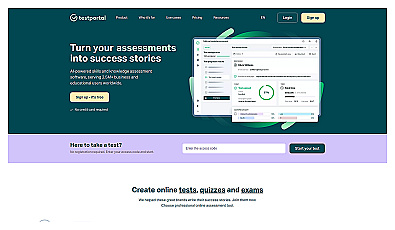
Create and manage online tests and assessments with ease.
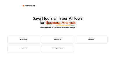
Generate detailed business analyses with ease.
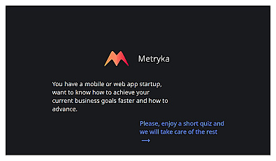
Insight-driven resource for startup growth and decision-making.
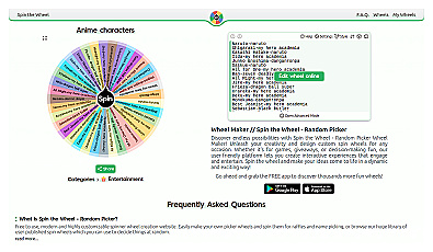
Randomly select choices through an interactive spinning wheel.
AI-driven investment strategy for automated crypto trading.

A connection builder for personal and professional growth.
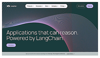
Framework for building intelligent applications using large language models.

Proactive AI that automates tasks and enhances productivity.
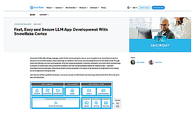
Generative AI integration for fast application development and insights.
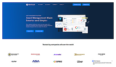
Comprehensive asset management for enhanced visibility and control.
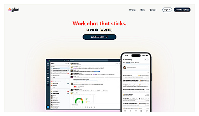
Structured communication tool for focused team collaboration.
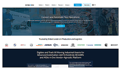
Automated asset tracking and workflow management solution.
Compare and analyze various AI models for informed decisions.
Advanced AI processing for diverse business applications.
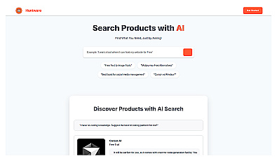
AI-driven product search using natural language queries.
Quickly gather insights through live discussions and surveys.