Aerial Mapping Tools
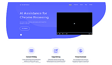
AI-powered writing assistant for content creation and editing.
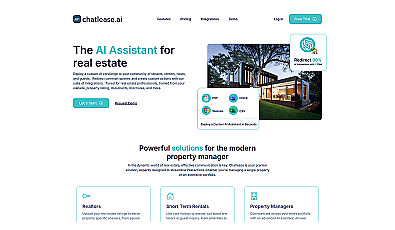
AI concierge for real estate inquiries and tenant management.

Quickly organize property data into professional formats.
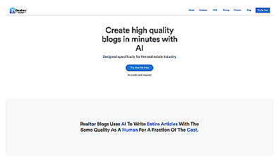
AI-powered content creation for real estate professionals.
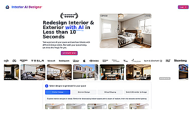
Transform room photos into stunning design visuals instantly.
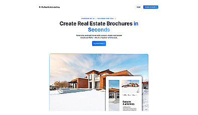
Create professional property brochures in minutes.

Create stunning 3D virtual tours of real estate properties.
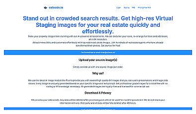
Transform property photos into stunning visuals effortlessly.
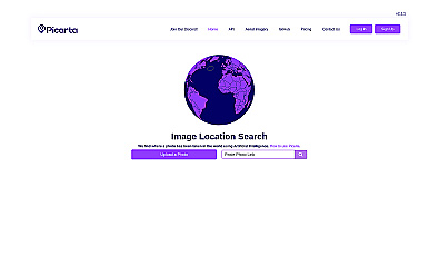
Discover where your photos were taken with intelligent geolocation.
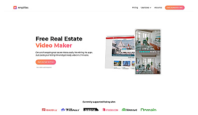
Create engaging property videos in just two minutes.
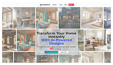
Instantly visualize home redesigns with realistic renderings.
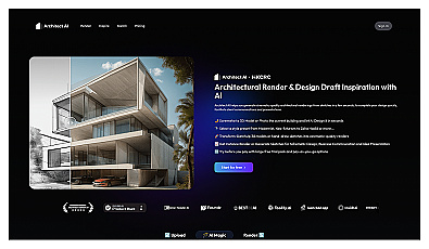
Generate stunning architectural visuals from sketches or photos in seconds.
Advanced image segmentation solution built on TensorFlow.

Streamlined software for safe, efficient mobility solutions.

A system for optimizing infrastructure and enhancing safety.
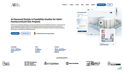
Automated design generation for architectural projects.

Real-time image analysis for accurate object detection.

Transform scans into detailed 3D building models instantly.
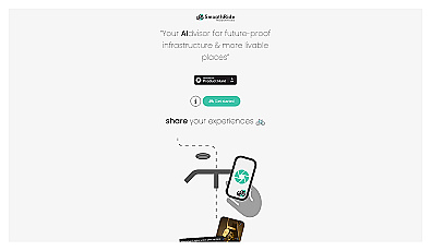
Urban planning tool promoting cyclist-friendly infrastructure improvements.

Analog computing technology for fast and efficient AI processing.

Advanced mapping editor with AI features for accurate updates.

Advanced AI for fast analysis of geospatial imagery.