Remote Sensing Tools
Advanced image detection and segmentation technology for various industries.
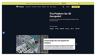
Visualize and manage 3D geospatial data effortlessly.
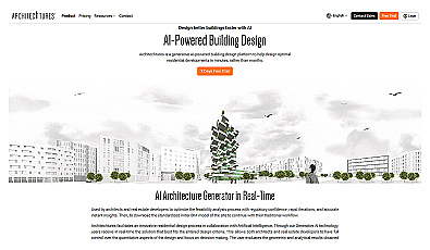
Automated design generation for architectural projects.
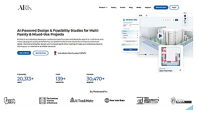
AI-driven design for residential architecture in minutes.
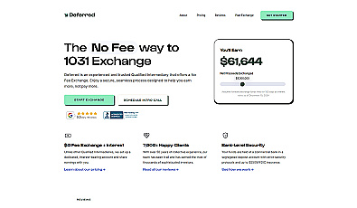
Effortless tax deferral for real estate investments.
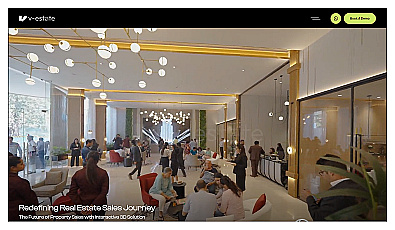
Interactive 3D marketing for real estate visualization.
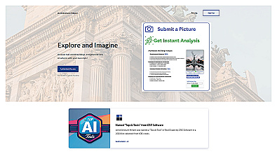
Explore and create unique architectural designs with ease.
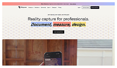
Create detailed 3D models of real-world spaces effortlessly.

Transform scans into detailed 3D building models instantly.
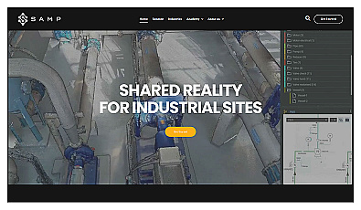
Accurate digital representations for industrial facilities.
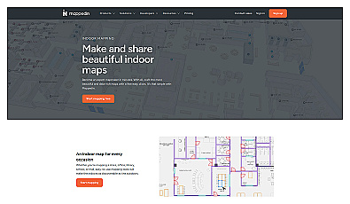
Indoor mapping tool for easy navigation in complex spaces.
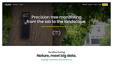
Monitor tree health and environmental conditions with advanced sensors.
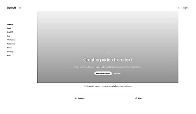
Transform text into captivating video content effortlessly.
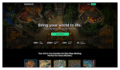
Create beautiful fantasy maps with ease and creativity.
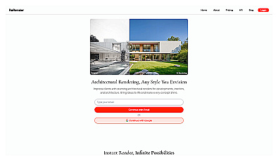
Transform ideas into stunning 3D architectural visuals instantly.
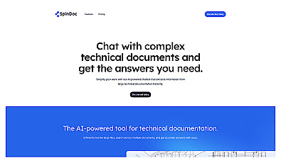
AI-driven assistant for quick access to technical documents.
Streamlined workspace for efficient software project management.
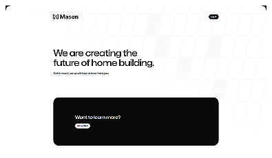
Streamlined project management for home construction.
Quickly create modern web applications with minimal setup.
Engage with documents through summaries and mind maps.
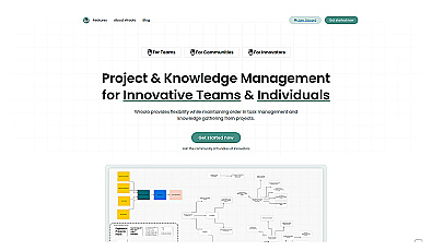
Streamlined project and knowledge management system for teams.
Advanced data analysis and automation for informed decision-making.
Automates data management for construction projects efficiently.
AI-driven assistant for smarter work management and decision-making.
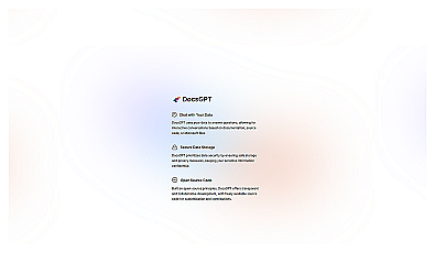
Engaging conversations with documentation for quick answers.