Mapping For Transportation Tools
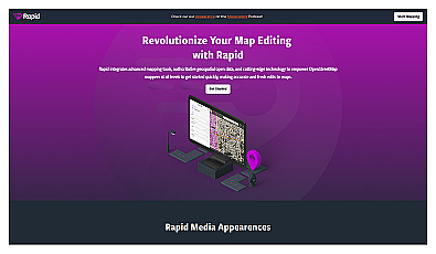
Intuitive map editing with AI-driven insights for all users.
Free
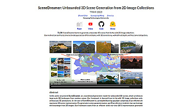
Create immersive 3D landscapes from 2D images effortlessly.

Related Categories
🗺️ Advanced mapping
📍 Coordinates
🗺️ Disaster response mapping
🗺️ Mapping features
🗺️ Mapping for civic engagement
🗺️ Mapping for community resilience
🗺️ Mapping for cultural heritage
🗺️ Mapping for disaster preparedness
🗺️ Mapping for disaster response
🗺️ Mapping for economic development
🗺️ Mapping for health services
🗺️ Mapping for urban sustainability
🗺️ Mapping strategies
🗺️ Mapping workflows
🛰️ Satellite data analysis