Landscape Visualization Tools
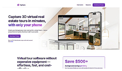
Create stunning 3D virtual tours of real estate properties.
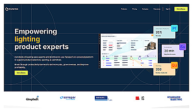
AI-driven product selection and quoting made simple.
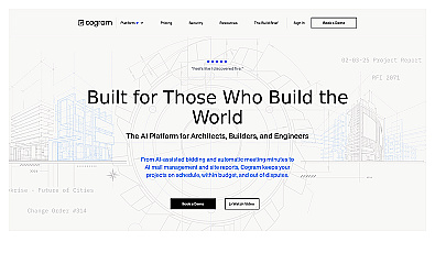
AI-driven project management for construction professionals.
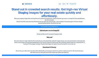
Transform property photos into stunning visuals effortlessly.
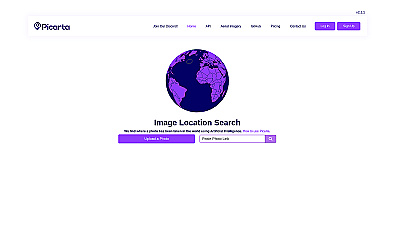
Discover where your photos were taken with intelligent geolocation.
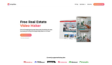
Create engaging property videos in just two minutes.
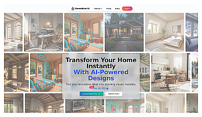
Instantly visualize home redesigns with realistic renderings.
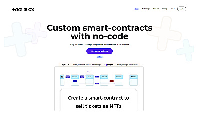
Build smart contracts without any coding knowledge.

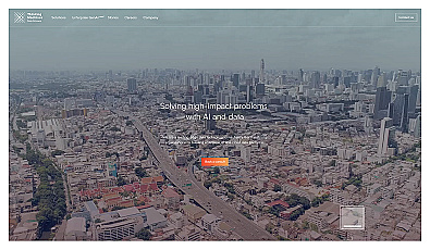
Advanced AI for fast analysis of geospatial imagery.
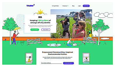
Connects communities to environmental data for informed action.
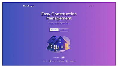
Construction project management with budgeting and tracking features.
Advanced access control and attendance management technology.
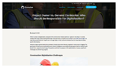
Digital solution enhancing construction project efficiency and collaboration.
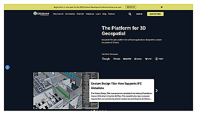
Visualize and manage 3D geospatial data effortlessly.
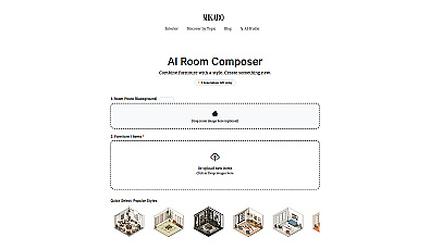
Instantly transform room styles with curated design elements.
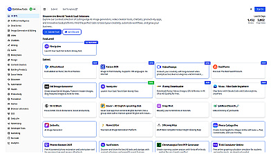
Curated directory for discovering AI and SaaS solutions.
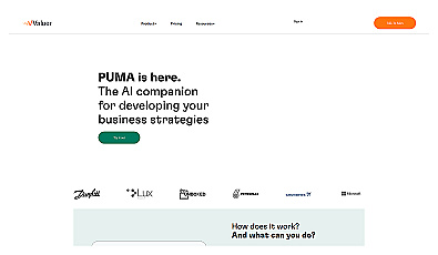
AI-driven insights for informed business decision-making.
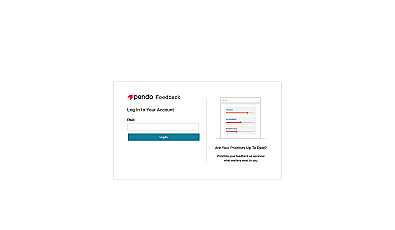
Collect and prioritize user feedback for informed product decisions.
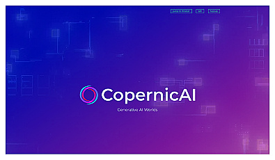
Create immersive 2D and 3D generative environments effortlessly.
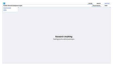
An intelligent research assistant for informed decision-making.
Empowers organizations with custom AI and cloud data solutions.
Marketing services that enhance online visibility and engagement.
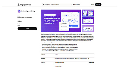
Automated pricing adjustments based on competitor insights.
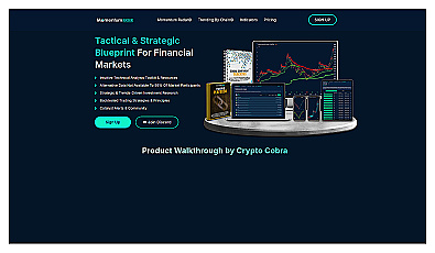
Analyzes financial data to enhance investment decisions.
Analyzes SaaS projects for informed investment decisions.