Geographic Visualization Tools
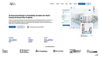
Automated design generation for architectural projects.

Create detailed 3D models of real-world spaces effortlessly.
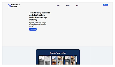
Transform sketches into realistic 3D visuals effortlessly.

Capture detailed 3D models using your smartphone effortlessly.
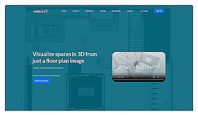
Visualize floor plans with interactive 3D modeling and collaboration.
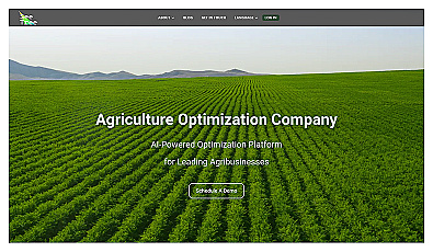
Transform tree management with AI-driven insights and analytics.
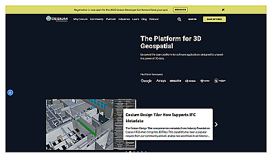
Visualize and manage 3D geospatial data effortlessly.
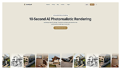
Create stunning architectural visuals from sketches in seconds.
Curated directory for discovering AI and SaaS solutions.

AI-driven insights for informed business decision-making.
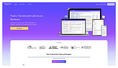
Streamlined literature review management for researchers.

A collaborative workspace for managing tasks and projects.

Collect and prioritize user feedback for informed product decisions.
Knowledge management made straightforward and effective for teams.

Create immersive 2D and 3D generative environments effortlessly.
Organize and prioritize tasks for increased productivity.
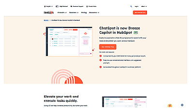
Boost productivity and streamline workflows with an intelligent assistant.
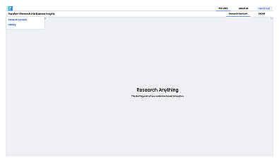
An intelligent research assistant for informed decision-making.

Visualize architectural designs with real-time rendering and VR.

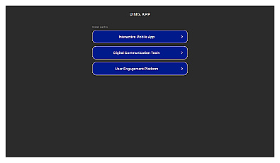
Streamline conversations and keep chats organized effortlessly.

Enhances collaboration and organization for project teams.
Streamlined translation management for multilingual software projects.
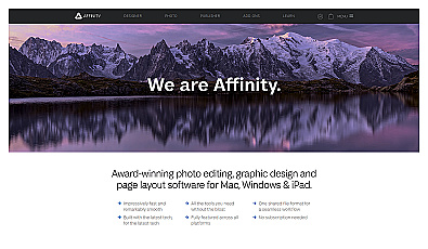
Versatile software for graphic design and photo editing.
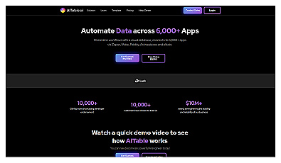
Automated data management across thousands of applications.
Visualize complex systems with intuitive diagramming software.