Geographic Data Visualization Tools
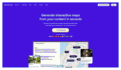
Create interactive maps from text sources quickly and easily.

Smart navigation using artificial intelligence for better exploration.

AI-driven travel planner for personalized itineraries and insights.

Customizable mapping and geolocation solutions for various applications.
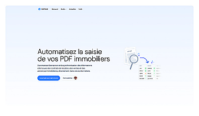
Automated document extraction for real estate management.
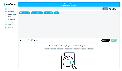
Instant roofing reports and property data at your fingertips.
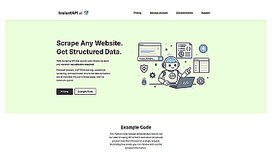
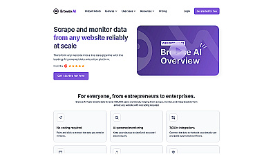
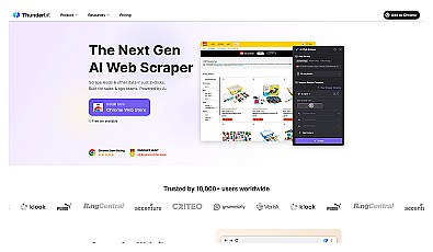
Effortlessly scrape structured data from any website.
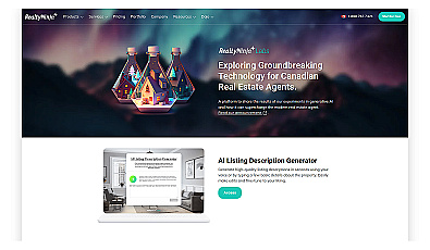
Generates engaging property descriptions for real estate agents.
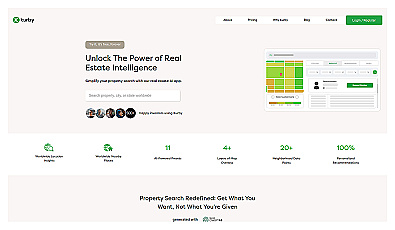
AI-driven real estate insights for personalized property searches.
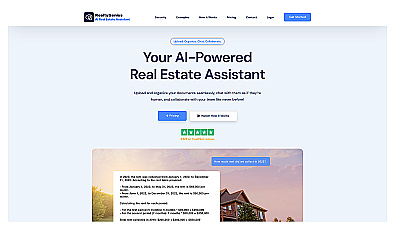
AI assistant for organizing and managing real estate documents.
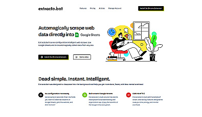
Effortlessly gather web data straight into Google Sheets.

Transform scans into detailed 3D building models instantly.
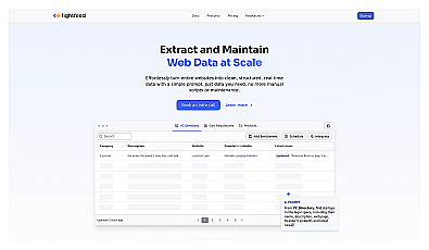
Extract structured web data effortlessly and in real-time.
Effortlessly gather and analyze web data without coding skills.
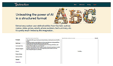
Extracts key information from written text efficiently.
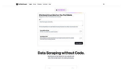
Effortless data extraction from any website with a click.
Effortlessly gather data from multiple websites and formats.

An innovative application for blind and low vision users.

On-demand visual assistance for daily activities and navigation.
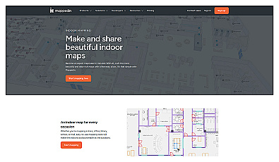
Indoor mapping tool for easy navigation in complex spaces.
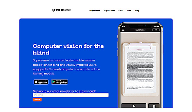
Mobile scanner for text and object recognition with voice feedback.
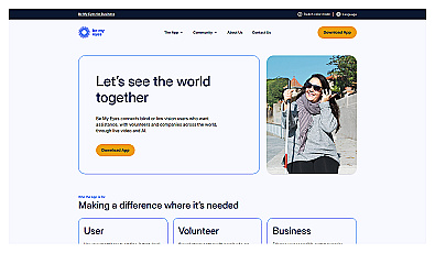
Connects blind users with volunteers for visual assistance.
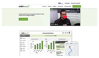
Smart dairy management system for tracking milk supply efficiently.
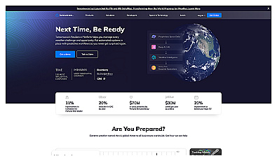
Real-time weather intelligence for informed decision-making.
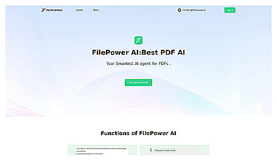
Interact with PDFs using smart question-and-answer features.