Aerial Visualization Tools
Transform text into captivating video content effortlessly.
No pricing info

Create beautiful fantasy maps with ease and creativity.
Free
+ from $5.00/m
Visual documentation solution for construction projects

Real-time image analysis for accurate object detection.
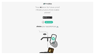
Urban planning tool promoting cyclist-friendly infrastructure improvements.
Free
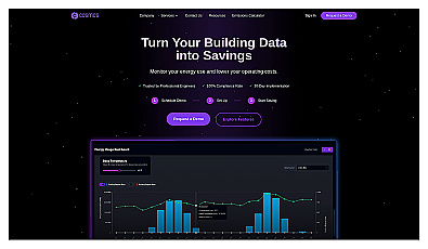
Efficient energy management for buildings through actionable insights.
Paid
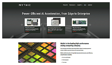
Analog computing technology for fast and efficient AI processing.
Free

Advanced mapping editor with AI features for accurate updates.
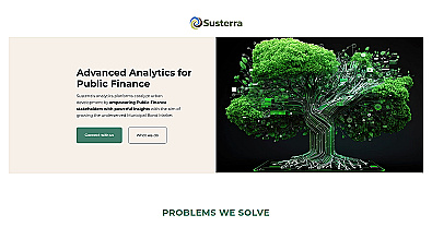
Advanced analytics for smarter public finance decision-making.
Free
Related Categories
🚁 Aerial mapping
🏗️ Construction efficiency
🏗️ Construction simulations
🏗️ Construction visualization
🌍 Environmental assessments
📈 Geographic analysis
🌍 Geographic visualization
🌍 Geospatial analysis
🎯 Geospatial visualization
📉 Impact assessments
🏢 Land use planning
🎨 Landscape visualization
📅 Project assessment
🏠 Real estate visualization
🏙️ Urban infrastructure