Urban Exploration Tools
AI-driven advice for home improvement and maintenance needs.
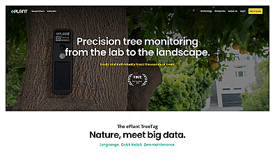
Monitor tree health and environmental conditions with advanced sensors.
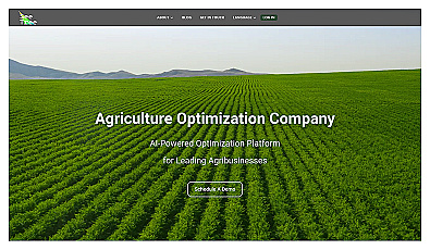
Transform tree management with AI-driven insights and analytics.
Calculate lawn maintenance needs for a healthy yard.
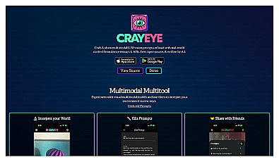
Advanced image segmentation solution built on TensorFlow.
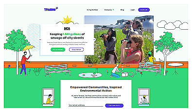
Connects communities to environmental data for informed action.
Advanced image detection and segmentation technology for various industries.
Comprehensive property data and analytics for informed decisions.
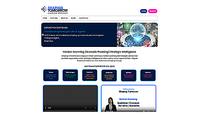
AI-driven horizon scanning for strategic foresight and planning.
Smart recovery tracker for monitoring concussion symptoms.
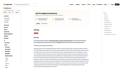
Image segmentation using text or image prompts with minimal setup.
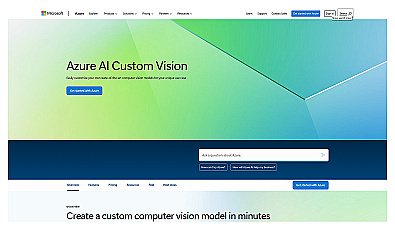
Custom image classification for tailored visual recognition.
Advanced image recognition for identifying objects in photos.
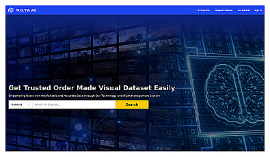
A platform for licensing diverse datasets for AI projects.

Real-time image analysis for accurate object detection.

Efficient software for 3D architectural design and analysis.
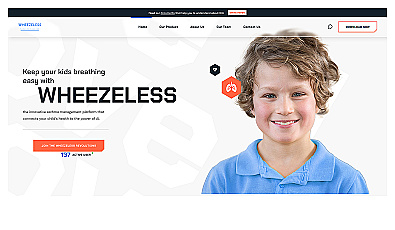
Smart asthma monitoring for children's health and safety.
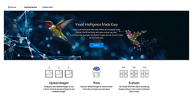
Create custom image recognition models with ease.
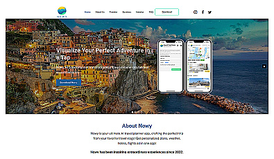
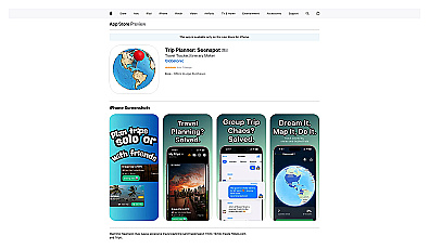
Personalized travel planning made simple and engaging.
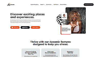
Connects travelers with local experiences across Africa.
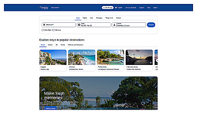
Budget-friendly travel booking for flights, hotels, and activities.